Developed at the Wasatch Front Regional Council (WFRC). The data, tool and repository belong to WFRC; this page only summarizes my work.
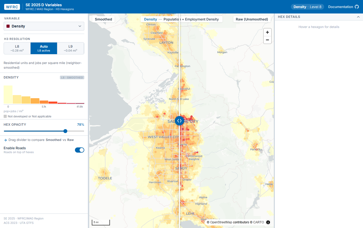
What it does
The “D variables” are a standard framework for measuring how urban form relates to travel behavior (Cervero and Kockelman, 1997; Ewing and Cervero, 2010). This project calculates them for the WFRC and MAG region from WFRC’s SE 2025 socioeconomic data, at H3 resolution 9 and 8.
| Variable | What it measures |
|---|---|
| Density | Residents and workers per square mile |
| Diversity | Balance of homes and jobs (land-use mix) |
| Design | Street-network connectivity |
| Destinations | Proximity to activity centers and everyday amenities, with seven sub-components |
| Demographics | Median household income and an Income Diversity Index |
| Distance to transit | Distance to the nearest frequent-service stop |
A supplementary Rental Housing Attainability Index, developed by Cascadia Partners with WFRC and UTA, is included alongside them.
Because urban form describes the environment a person experiences, not the contents of an arbitrary polygon, each variable is spatially smoothed across neighboring hexagons. The explorer’s swipe control compares the smoothed value with the raw one.
What I worked on
The R pipeline that computes and smooths the variables, and the interactive explorer for browsing them.
My role: developer. I authored all the commits in the repository.